It was 2:30pm and I was feeling like I should get out and do something. I had noticed that there were a set of donkey bikes really far south… So I was tentatively going to circumnavigate the network. However, when I got close, I noticed they were no longer on the map! Apparently they’re in a different network. At some point I’ll have to do a proper circumnavigation, but it looks like it’ll be easier than I thought.
Stats
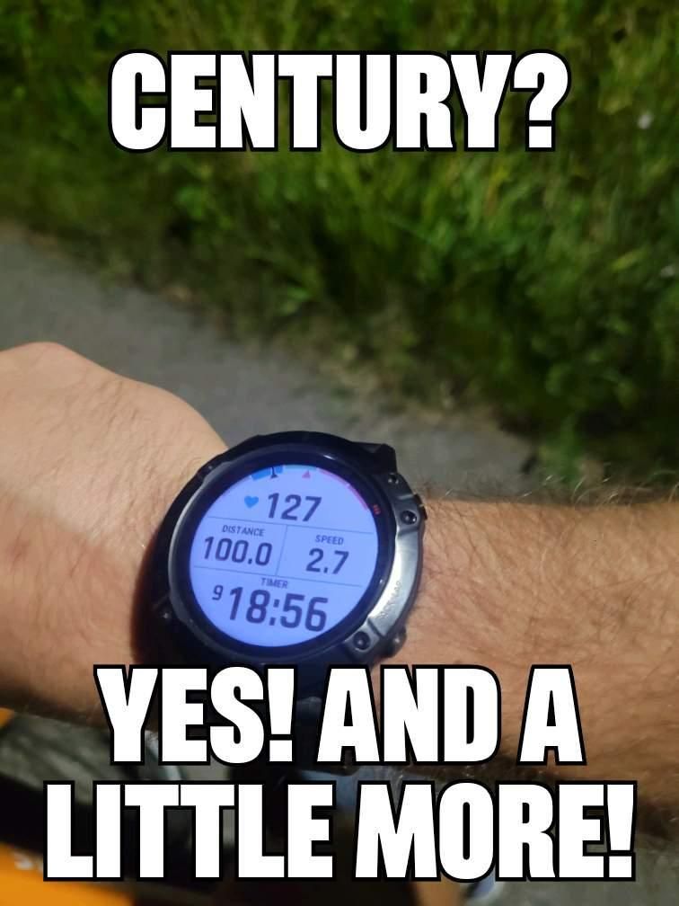
| Distance | 194.60 km |
| Moving time | 10h 00m 22s |
| Elapsed time | 11h 15m 57s |
| Elevation gain | 814 m |
| Average speed | 19.4 km/h |
| Max speed | 36.5 km/h |
| Calories | 3863 kcal |
| Device | Garmin fēnix 6X |
Route
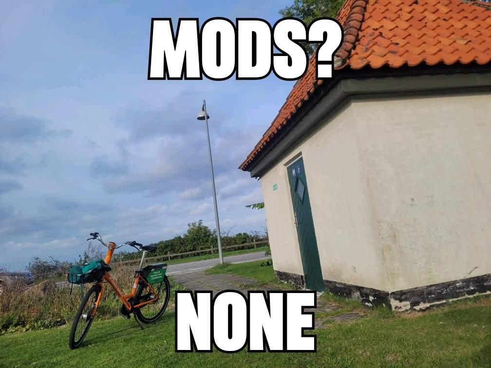
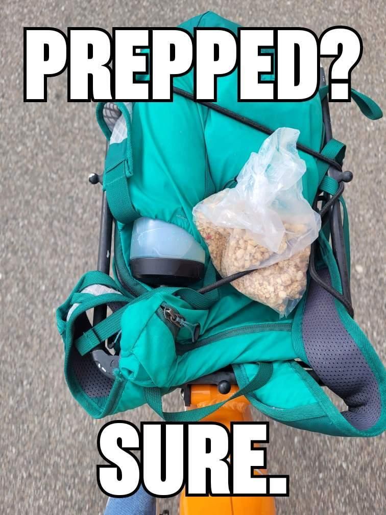
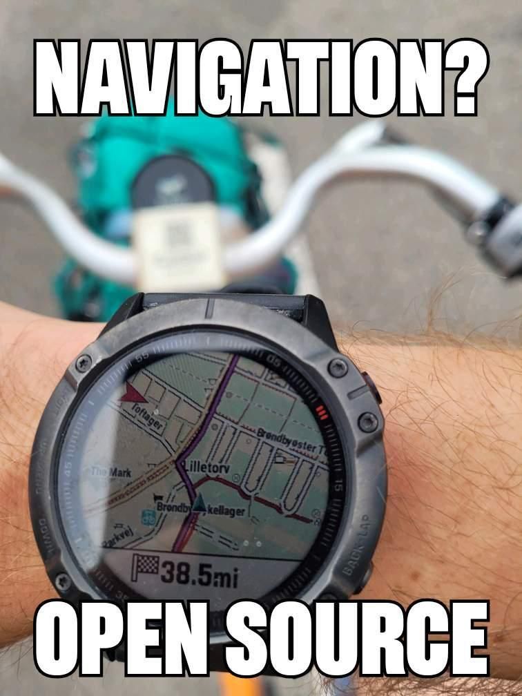
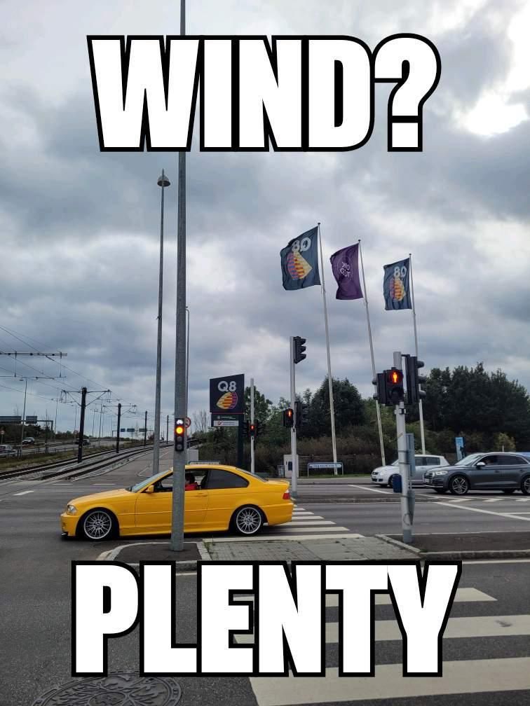
Photos